There are no items in your cart
Add More
Add More
| Item Details | Price | ||
|---|---|---|---|
Maximize your mapping skills with cutting-edge surveying techniques in this advanced course.
Self-paced courses
Learn anytime, anywhere at your own pace. Ask doubts and questions in the comments and community.
Lifetime Course Access (desktop & mobile)
Lifetime access across devices, including post-completion. Revisit anytime and get future updates automatically.
Gain job-ready skills with practitioner-built content
Standards-mapped templates, real-world examples, and proven workflows from seasoned auditors, inspectors & experts
Job-Ready Skills
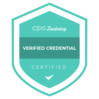
Verifiable Certificate
Worldwide Recognition
Shareable Certificate
Students From 100 + Countries
20000 + Certified Learners
Globally Regnised Certification
Industry Aligned Courses
Access from Anywhere
Step One
Purchase the desired course and complete the registration process.
Step One
Purchase the desired course and complete the registration process.
Step One
Purchase the desired course and complete the registration process.
Lifetime access across devices, including post-completion. Revisit anytime and get future updates automatically.
TERMS OF USE | Privacy policy | refund policy | faq | about us | contact us